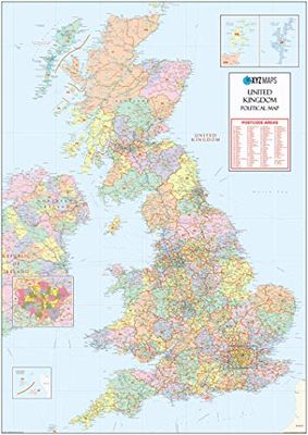
UK Political Postcode Areas Large Wall Map - Paper
XYZ Maps
Description
The UK Large Postcode Area Wall Map is the definitive large format Postcode Areas Wall Map of Scotland, England, Wales… Huge Size - 1000mm x 1414mm Art quality 120 gsm paper Read more
GTIN
5060688686052
Offered by
Amazon.co.uk
Save product
Product saved
Compare Product
Price history
Related products
Please select at least 2 products for your comparison
Show comparison